The Thlewiaza: Exploring Sleeping Island Lake and No-Man’s River
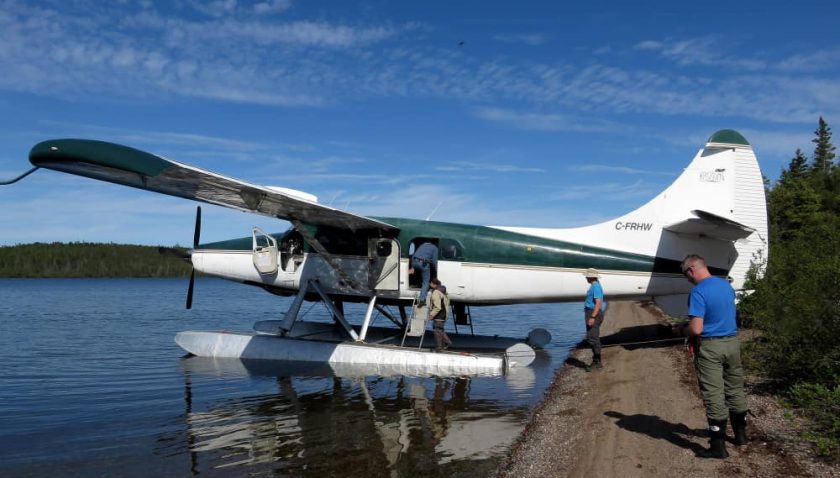
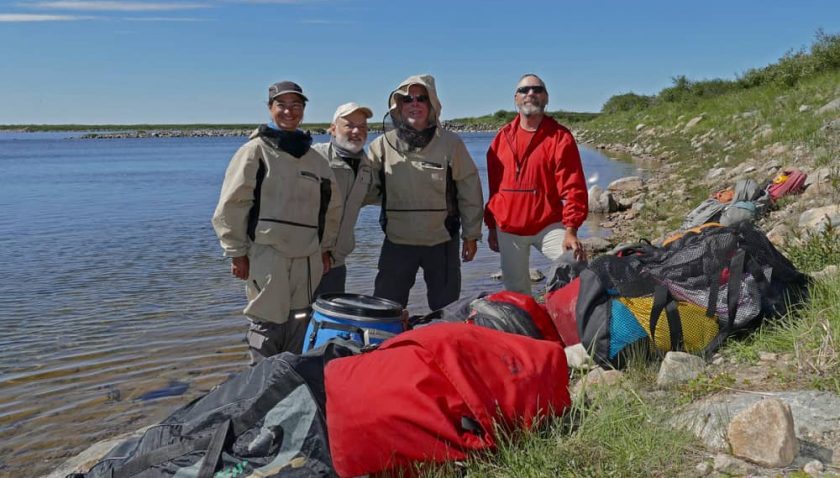
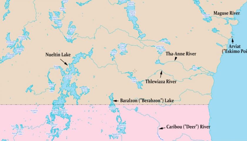
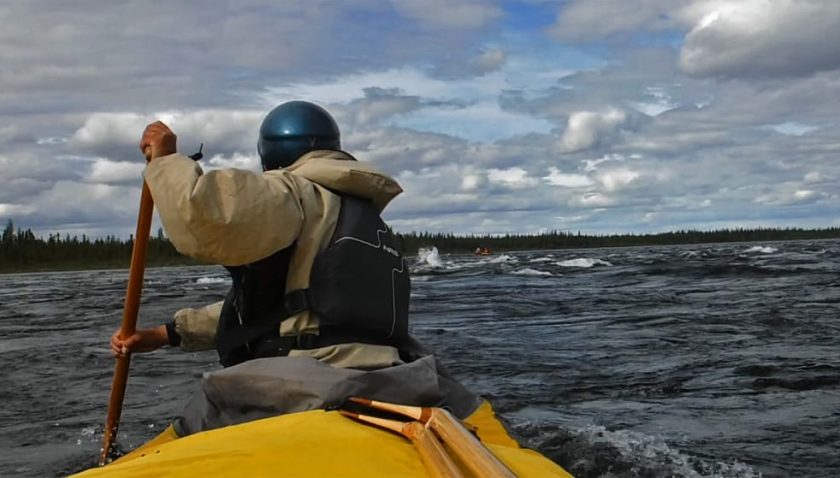
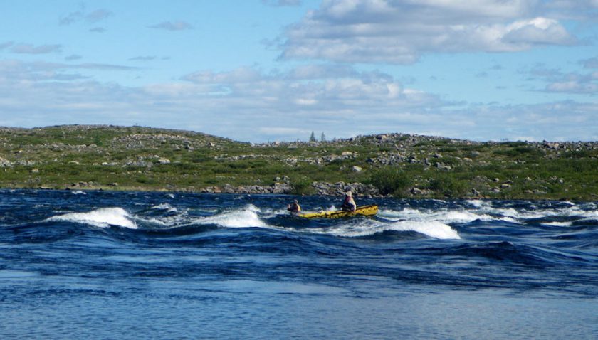
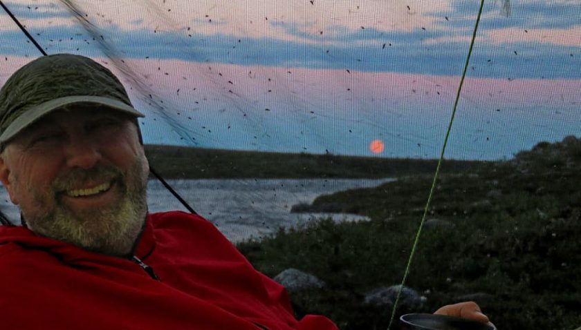
Chris Rush shares his far north canoe trip down the Thlewiaza River (Canada) from Nueltin Lake towards Hudson Bay – battling record high water and fierce winds. The group sees historic trading posts, abandoned mining camps, interesting wildlife and follows portions of historic routes paddled by Inuit and Dene residents, and early adventurers like J.B. Tyrrell and Ernest Oberholtzer. Follow their exciting three week adventure here> and enjoy more stunning photos from their trip, maps, and a very thorough trip log. Here’s an excerpt to get you started:
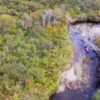
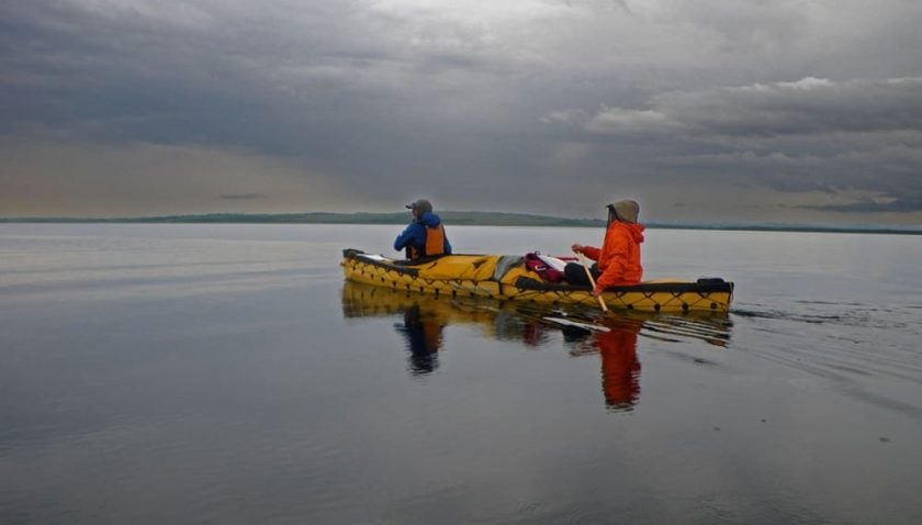
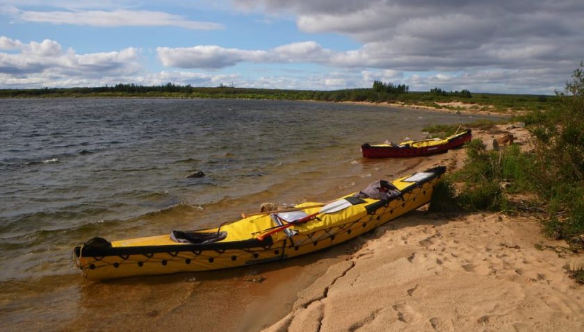
We loaded the boats and set off at eleven. It was breezy but thankfully, the wind was blowing in the right direction – towards the north. It steadily built so that by lunchtime Windy Lake was living up to its moniker. We were at the north end of the lake, where it is quite narrow and split by the long esker island, after which it continued on the mainland. We stopped at a sandy point for lunch, and examined the flotsam that had piled up for years on the beach.
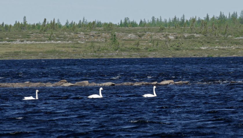
Two bald eagles circled overhead, the first of many we would see on the trip. Small shorebirds hopped around and chirped at us.
Bushwhacking inland a bit, we soon stumbled upon the rotting ruins of a small cabin, this one probably belonging to one of the crusty old characters who populated the area while trapping many years earlier. It was in a serious state of decay, in fact almost not recognizable as a cabin ruin. Again I thought, it almost doesn’t fail, that when, on a wilderness trip, I come upon a promising site for one reason or another, be it a good portage spot, a decent campsite, or in this case, a nice landing spot on a big lake, I often find signs that someone else, often a long time ago, has also found the exact same spot useful for the same reasons!
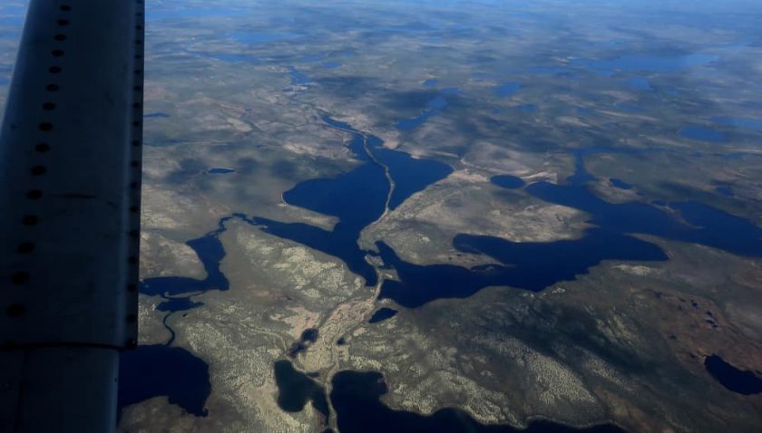
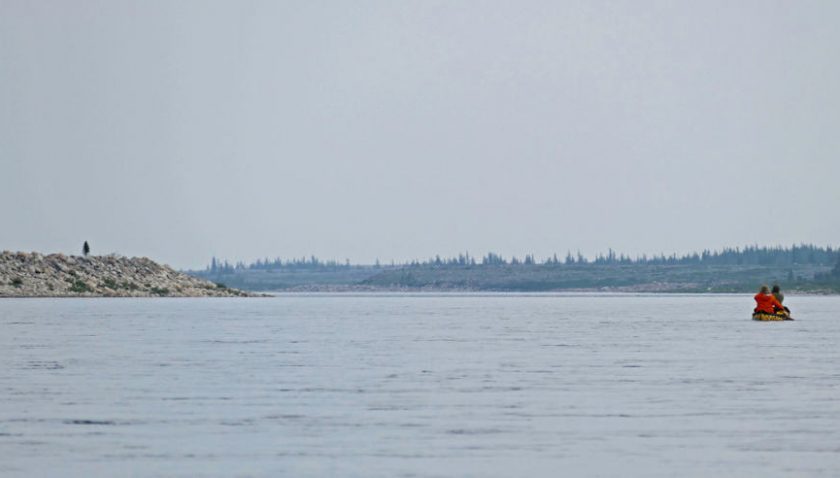
Back on the lake I was ruing not having paddled much in preparation for this trip. My paddling muscles were already sore, and my left elbow hurt when I paddled on the right side. Oh oh. We had a lot of lake paddling before getting the big river where the current would help propel us to the bay. Late in the afternoon we finally reached the end of Windy Lake, where on even the large scale maps only a single line marks the start of Windy River. But this was a real river, not a little bumpy creek like those single squiggles often denote. It was clearly running high, the banks submerged up to the bushes on the sides, and there was slow but definite current. Almost straight after the Windy River starts, it splits into two around a large triangular island. The left channel soon joins the Red River, coming from the west, then the combined waters join the main branch of Windy river before it turns east to drain into Simon’s Lake. We wanted to visit the old Red River HBC post that was at the junction of the left branch of Windy River and the Red River, so it was the left branch we should have gone down. But the lead boat with Lee and Curt had zipped by this channel in the current. That meant we had to turn west and go upstream on the Red River when we reached the end of the island. This mistake cost us a good hour slog up a shallow stream with a fairly strong current… Read On >