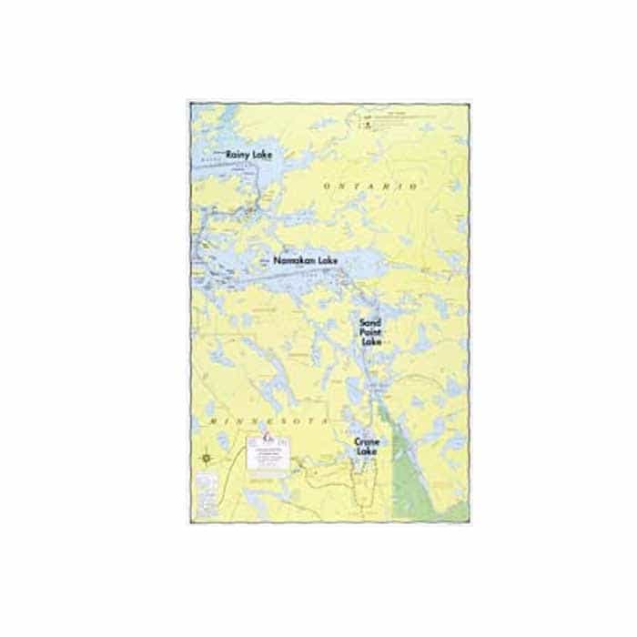
W.A. Fisher Boundary Waters Canoe Area Wilderness – E Series Maps
Add to wishlistAdded to wishlistRemoved from wishlist 0
Add to compare
Similar in nature to the Superior-Quetico maps, in large scale, with greater emphasis on detail such as incorporation of some reef markers, water levels, campsites, B.W.C.A. boundaries, motor routes, etc. Even though these maps are updated and well-marked, they are not intended for navigational use.
$6.90
Category: Navigation
Waterproof maps with greater detail of BWCAW/Quetico & border lakes plus other popular northern Minnesota lakes. Some include hydrographic contours, marked reefs and channels.
Size 22″ x 34″, Scale 1-1/ 4″ = 1 mile, Waterproof*
User Reviews
0.0 out of 5
★★★★★
0
★★★★★
0
★★★★★
0
★★★★★
0
★★★★★
0
Write a review


There are no reviews yet.