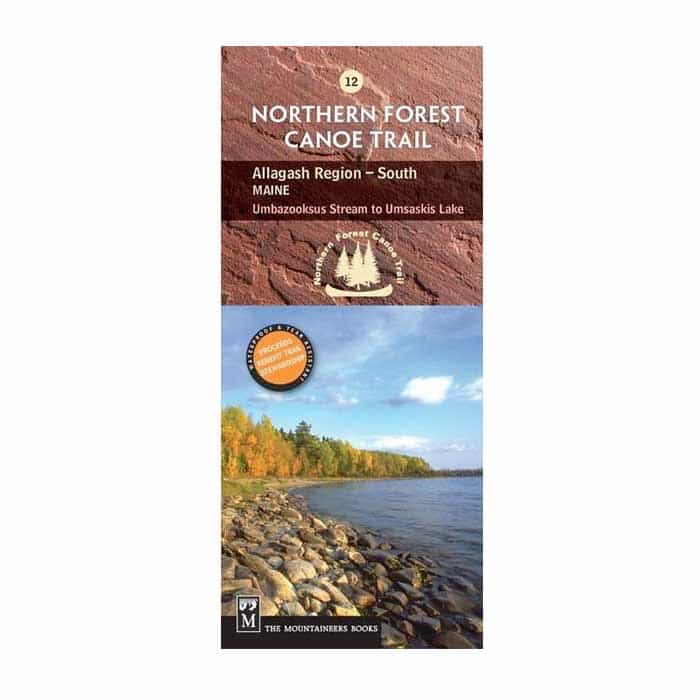
Northern Forest Canoe Trail Map 12: Umbazooksas Stream to Umsaskis Lake
Add to wishlistAdded to wishlistRemoved from wishlist 0
Add to compare
Waterproof. Navigate your way through the second-to-last section of the Northern Forest Canoe Trail—from Umbazooksus Stream to Umsaskis Lake—with NFCT Map 12 and explore the forested shorelines, interconnected waters, and rich history of the Allagash Wilderness Waterway.
$9.95
Category: Navigation
Full-color map printed on waterproof/tear proof paper
Covers the second-to-last section of the NFCT in the Allagash region of northern Maine
Includes put-in points, portages, campsites, local contact information, and permit guidelines
Provides extensive natural and human history information
Folded dimensions: 9.2 x 4 in.
User Reviews
0.0 out of 5
★★★★★
0
★★★★★
0
★★★★★
0
★★★★★
0
★★★★★
0
Write a review


There are no reviews yet.