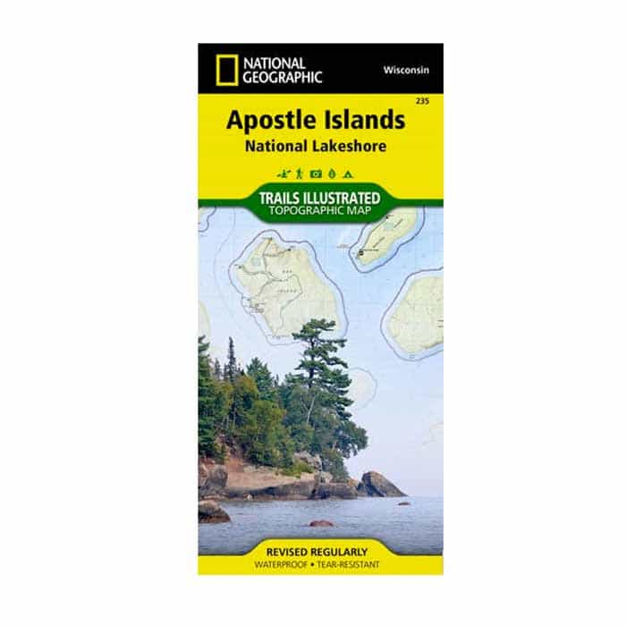
National Geographic Maps Apostle Islands National Lakeshore Map
Waterproof. This Trails Illustrated topographic map for Apostle Islands National Lakeshore, and surrounding area in northern Wisconsin includes Devils Island, North Twin Island, South Twin Island, Rocky Island, Bear Island, Otter Island, Ironwood Island, Cat Island, Outer Island, Manitou Island, Oak Island, Stockton Island, Michigan Island, Hermit Island, Basswood Island, York Island, Sand Island, Eagle Island, Sand Point, Point Detour, Madeline Island, Big Bay State Park, Long Island, Chequamegon Point, Lake Superior, an island-to-island mileage chart, the city of Bayfield, Little Sand Bay, and much more. Includes UTM grids for use with your GPS unit.
$17.00
Folded Size 4.25″ x 9.25″
Flat Size 25.5″ x 37.75″
Scale 1:50,000
Copyright Date 2007
Waterproof
Tear-Resistant
Topographic Map


There are no reviews yet.