McKenzie Maps Minnesota North Shore/Superior National Forest Maps
Add to wishlistAdded to wishlistRemoved from wishlist 0
Add to compare
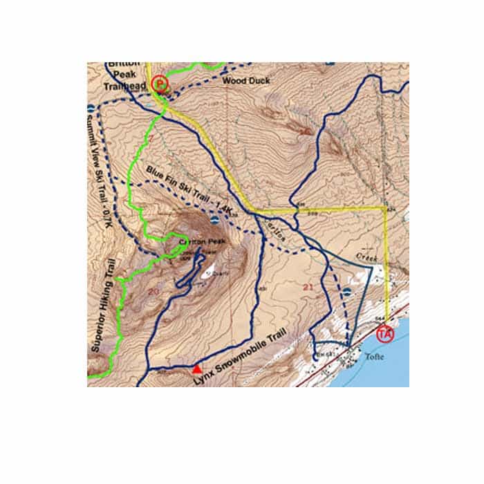
All maps show navigation channels, markers, hiking trails, portages, snowmobile trails, houseboat sites, campsites, and facilities at each site. The maps are also waterproof, topographic, and have latitude and longitude or UTM grids for the GPS users out there! Size: 25″ x 38″
$9.95
Category: Navigation
The maps of the North Shore/Superior National Forest offer multiple use wilderness opportunities. They show hiking, biking, ski and some snowmobile trails and many other outdoor facilities. There are many beautiful State Parks which offer varied facilities from hike-in to drive-in camping, as well as wayside conveniences. Also shown on these maps are the North Shore State Trail and the Superior Hiking Trail.
User Reviews
0.0 out of 5
★★★★★
0
★★★★★
0
★★★★★
0
★★★★★
0
★★★★★
0
Write a review


There are no reviews yet.