Garmin BirdsEye TOPO, U.S. and Canada
Download
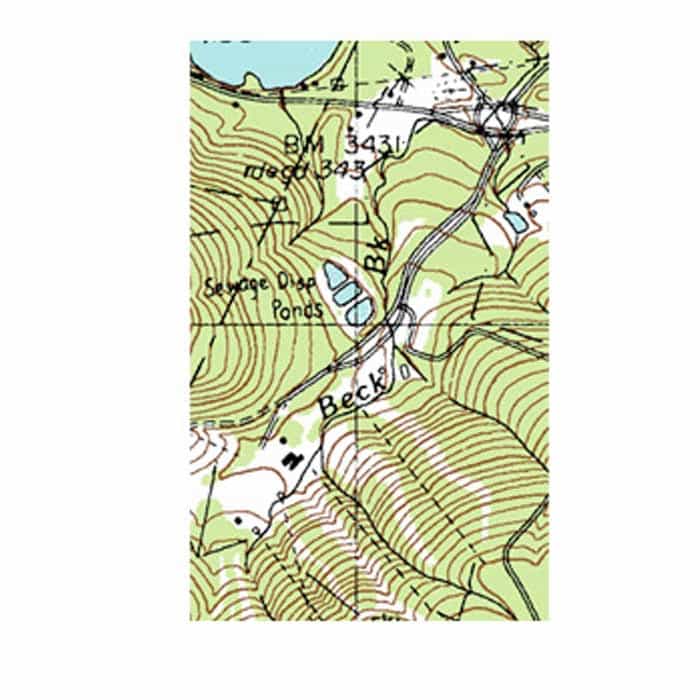
We've mapped every hill and valley for your next great adventure. Now with more detail than ever, this product covers the finer points of the outdoors with topographic maps comparable to 1:100,000 scale USGS maps. It also includes terrain contours, topo elevations, summits, parks, coastlines, rivers, lakes and geographical points.
$29.99
Get detailed raster maps of the place where your next adventure awaits. With a 1-year subscription, you quickly can download and transfer USGS and NRC raster maps to your compatible handheld device using BaseCamp™ software.
Provides highly detailed 1:24,000 scale raster USGS maps and 1:50,000 scale raster NRC maps.
Features an unlimited amount of downloadable raster maps for 1 year using BaseCamp software.
Lets you layer vector maps (such as TOPO 100K, TOPO 24K or City Navigator®) on their handheld devices for a view of roads, buildings and terrain.
Displays parking and camping areas, trails, points of interest, water sources and more.


There are no reviews yet.