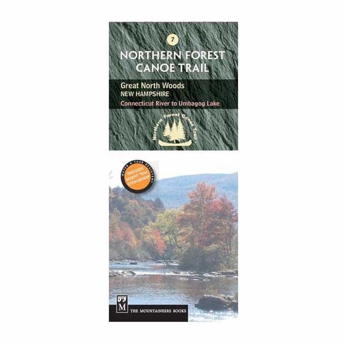
Northern Forest Canoe Trail Map 7: Connecticut River to Umbagog Lake
Add to wishlistAdded to wishlistRemoved from wishlist 0
Add to compare
Waterproof. Navigate your way through the middle of the Northern Forest Canoe Trail—from the Connecticut River to Umbagog Lake—with NFCT Map 7 and explore the Great North Woods at the northern edge of the Presidential Range in the White Mountains.
$9.95
Category: Navigation
Full-color map printed on waterproof/tear proof paper
Covers the middle section of the NFCT along the Connecticut, Upper Ammonoosuc, and Androscoggin Rivers, ending at the Lake Umbagog National Wildlife Refuge
Includes put-in points, portages, campsites, local contact information, and permit guidelines
Provides extensive natural and human history information
Folded dimensions: 9.2 x 4 in.
User Reviews
0.0 out of 5
★★★★★
0
★★★★★
0
★★★★★
0
★★★★★
0
★★★★★
0
Write a review


There are no reviews yet.