McKenzie Maps Voyageurs National Park Maps
Add to wishlistAdded to wishlistRemoved from wishlist 1
Add to compare
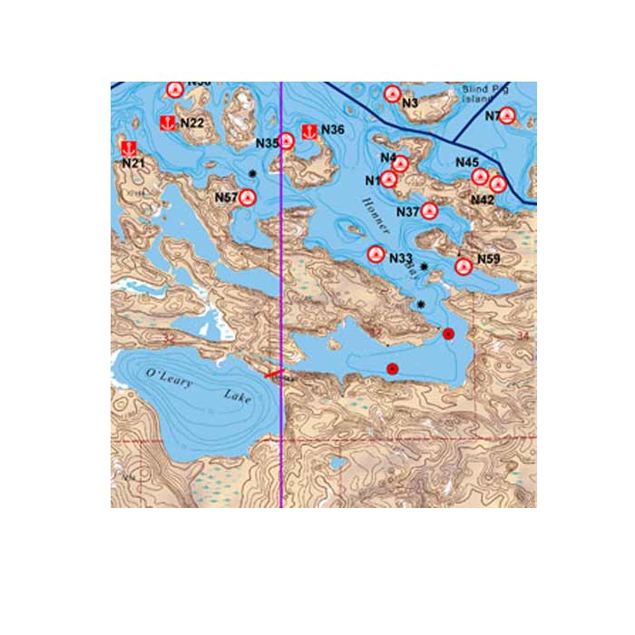
All maps show navigation channels, markers, hiking trails, portages, snowmobile trails, houseboat sites, campsites, and facilities at each site. The maps are also waterproof, topographic, and have latitude and longitude or UTM grids for the GPS users out there! Size: 25″ x 38″
$9.95
Category: Navigation
User Reviews
0.0 out of 5
★★★★★
0
★★★★★
0
★★★★★
0
★★★★★
0
★★★★★
0
Write a review


There are no reviews yet.