

Shop Navigation Tools
Showing 19–36 of 87 results

Waterproof. Navigate your way through the middle of the Northern Forest Canoe Trail—from the Connecticut River to Umbagog Lake—with NFCT Map 7 and explore the Great North Woods at the northern edge of the Presidential Range in the White Mountains.
$9.95

Waterproof. Navigate your way through the last Vermont section of the Northern Forest Canoe Trail—from Lake Memphremagog to the Connecticut River—with NFCT Map 6 and explore the Northeast Kingdom, Clyde River wetlands, the Nulhegan River, and the Silvio O. Conte National Fish and Wildlife Refuge.
$9.95

Waterproof. Navigate your way through the fifth section of the Northern Forest Canoe Trail—from the Missisquoi River to Lake Memphremagog—with NFCT Map 5 and explore the rolling hills, dairy farms, and forests along waterways historically used by the Abenaki and later by Europeans traveling between Quebec and the New England settlements.
$9.95

Waterproof. Navigate your way through the fourth section of the Northern Forest Canoe Trail—from Lake Champlain along the Missisquoi River—with NFCT Map 4 and explore the forests and swamps of the Missisquoi National Wildlife Refuge.
$9.95
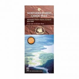
Waterproof. Navigate your way through the second section of the Northern Forest Canoe Trail—from Long Lake to the Saranac River—with NFCT Map 2 and explore the historic route of early loggers and hunters.
$9.95
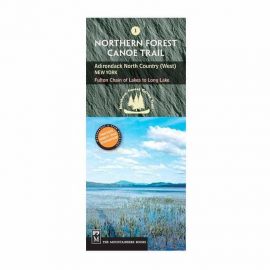
Waterproof. Navigate your way through the beginning of the Northern Forest Canoe Trail—from the Fulton Chain of Lakes to Long Lake—with NFCT Map 1 and explore the historic path of Iroquois trappers, Adirondack guides, and early steamboats.
$9.95

Waterproof. This map covers the Connecticut River from its headwaters and 280 miles south to the Massachusetts border. Includes all access points, campsites, portage trails, and information on the area natural and cultural history.
$9.95

Waterproof. Some of the key areas of interest featured on this map include Eagle Mountain, Lake Isabella State Forest, Chik-Wauk Museum Nature Center, Kekekabic and Border Route trails, and Gunflint Trail National Scenic Byway. Features found on this map include: Boundary Waters Canoe Area Wilderness, Eagle Mountain, Kelso Mountain, Misquah Hills, Saganaga Lake, Superior National Forest.
$17.00

Waterproof. Created in partnership with local land management agencies, this expertly researched map features key areas of interest including the International Wolf Center; Echo Trail roadway; Burntside, Vermilion, Trout, and Snowbank lakes; Little Indian Sioux and South Kawishiwi rivers; Kekekabic Trail; and Taconite State Trail.
Features found on this map include: Basswood Lake, Boundary Waters Canoe Area Wilderness, Crooked Lake, Lac la Croix, Superior National Forest, Trout Lake, Vermilion Lake.
$17.00

Waterproof. Contains detailed park information including hiking trails, campgrounds, portages, trails, trail access points, roads, park services, and more. Featured in this map: Gull Island Rookery, Grassy Bay Cliffs, Anderson Bay, Kettle Falls, Hoist Bay, Gold Portage, Ash River, Crane Lake, Kabetogama and Rainy Lake Visitor Centers.
$17.00

Waterproof. This Trails Illustrated topographic map for Apostle Islands National Lakeshore, and surrounding area in northern Wisconsin includes Devils Island, North Twin Island, South Twin Island, Rocky Island, Bear Island, Otter Island, Ironwood Island, Cat Island, Outer Island, Manitou Island, Oak Island, Stockton Island, Michigan Island, Hermit Island, Basswood Island, York Island, Sand Island, Eagle Island, Sand Point, Point Detour, Madeline Island, Big Bay State Park, Long Island, Chequamegon Point, Lake Superior, an island-to-island mileage chart, the city of Bayfield, Little Sand Bay, and much more. Includes UTM grids for use with your GPS unit.
$17.00
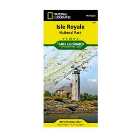
Waterproof. National Geographic’s Trails Illustrated map of Isle Royale National Park delivers unmatched detail and valuable information to assist you in your exploration of this remote wilderness. Created in partnership with local land management agencies, this expertly researched map features key areas of interest including Passage Island, Rock Harbor, Windigo, and many shipwreck sites. Whether day hiking or backpacking to remote campsites, the map’s clearly marked trails with mileage between intersections will help you choose the route that’s right for you.
$17.00
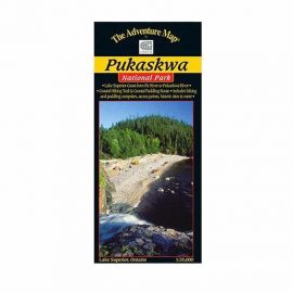
Waterproof. The eastern Lake Superior coast offers a wonderfully rugged wilderness paddling and backpacking adventure in Pukaskwa National Park. Our new Pukaskwa Coast map shows them both in detail!
$17.00

Download
Outdoor enthusiasts: your adventure is waiting — in vivid detail. These highly detailed maps include terrain contours, topo elevations, summits, routable roads and trails, parks, coastlines, rivers, lakes and geographical points. They also display 3-D terrain shading on compatible devices.
Outdoor enthusiasts: your adventure is waiting — in vivid detail. These highly detailed maps include terrain contours, topo elevations, summits, routable roads and trails, parks, coastlines, rivers, lakes and geographical points. They also display 3-D terrain shading on compatible devices.
$99.99
Download
We've mapped every hill and valley for your next great adventure. Now with more detail than ever, this product covers the finer points of the outdoors with topographic maps comparable to 1:100,000 scale USGS maps. It also includes terrain contours, topo elevations, summits, parks, coastlines, rivers, lakes and geographical points.
We've mapped every hill and valley for your next great adventure. Now with more detail than ever, this product covers the finer points of the outdoors with topographic maps comparable to 1:100,000 scale USGS maps. It also includes terrain contours, topo elevations, summits, parks, coastlines, rivers, lakes and geographical points.
$29.99

Download or MicroSD Card
We've mapped every hill and valley for your next great adventure. Now with more detail than ever, this product covers the finer points of the outdoors with topographic maps comparable to 1:100,000 scale USGS maps. It also includes terrain contours, topo elevations, summits, parks, coastlines, rivers, lakes and geographical points.
We've mapped every hill and valley for your next great adventure. Now with more detail than ever, this product covers the finer points of the outdoors with topographic maps comparable to 1:100,000 scale USGS maps. It also includes terrain contours, topo elevations, summits, parks, coastlines, rivers, lakes and geographical points.
$99.99

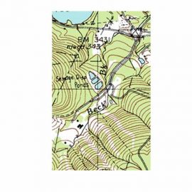
Finding your way around in an unfamiliar area of Canada can prove challenging without a topographic map. There are 1:250,000 scales maps to help you find your destination, while the 1:50,000 scale maps are available to let you zero in on a particular site. They show lakes, rivers, streams, marshes and the elevation of surrounding land.
$19.95
All prices are Manufacturer's Suggested Retail Price, subject to change, see manufacturer web site for details. Prices listed in U.S. Dollars.


